The data that matters most in infrastructure is often the data tied to a place. Where a risk concentrates. Where two asset classes overlap. Where projected environmental change intersects with a site earmarked for decades of use. For too long, getting that kind of spatial intelligence required leaving your analysis environment, switching tools, and working across disconnected systems. Today, we're changing that. Spatial Datasets are now directly callable inside ConstructChat.
Read next Introducing Taiyo Spatial IntelligenceThe Data, Where the Work Happens
Spatial Datasets allows users to call curated geographic and environmental datasets from within their ConstructChat session, without switching to a separate platform, exporting files, or waiting for a GIS team. The datasets are queryable in natural language and connect directly with the infrastructure contexts ConstructChat already understands.
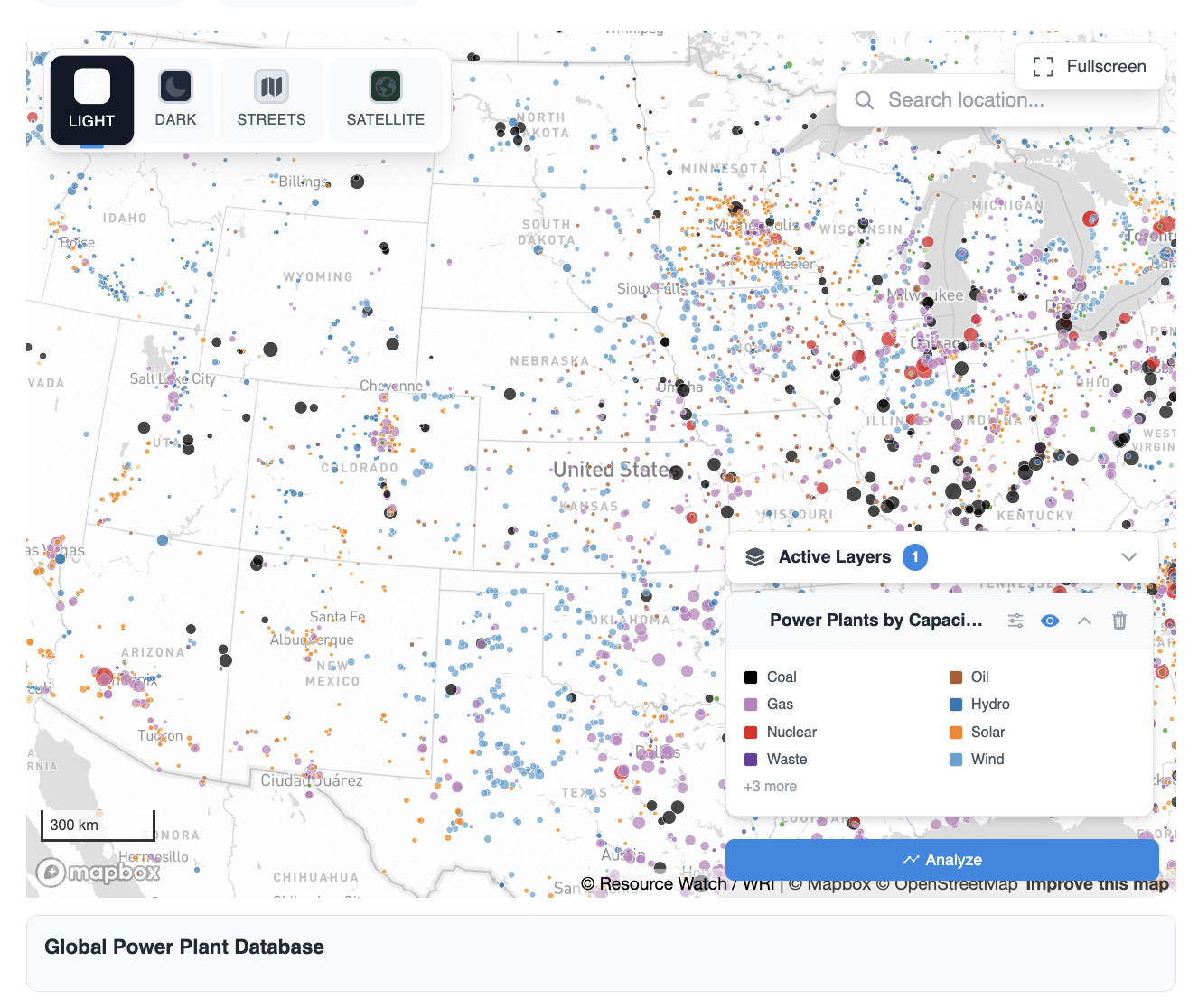
Read next ConstructChat Now Has MemoryAsk about renewable energy projects at European ports, and ConstructChat doesn't just return a text summary. It pulls the relevant spatial data and surfaces it through Map Explorer: an interactive layer showing infrastructure assets, district boundaries, street-level context, and satellite overlays across the geography in question. The analysis is visual, navigable, and grounded in the actual locations being discussed.
Layers, Sources, and Confidence
What distinguishes this from a standard map interface is the depth of the analytical layer beneath it. Every spatial query surfaces its sources, allows review of all underlying records, and includes a Confidence Report so teams can assess the quality and coverage of the data they're working with before they act on it. Active layers can be toggled across streets, districts, and satellite views, letting users work at the resolution that suits their question.
The result is a fundamentally different kind of analysis workflow. Geographic intelligence becomes part of the decision-making conversation, not a separate deliverable that arrives later. Site selection, due diligence, risk assessment, environmental review: every stage of the infrastructure lifecycle involves a spatial question, and now it can be answered in the same session where the rest of the work is happening.
A Platform That Holds the Full Picture
This feature builds on the Spatial Intelligence capabilities we introduced earlier this month, extending them so that the raw datasets themselves are a direct input to every ConstructChat session. It reflects the direction we're building toward: a platform where every dimension of infrastructure intelligence, financial, operational, regulatory, and spatial, is accessible in one place, in one conversation.
The goal is not more tools. It's fewer context switches and better decisions.
Follow us on LinkedIn for more updates.